
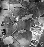
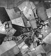
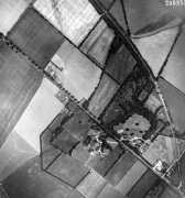
1949 Aerial Photographs
Jump to navigation
Jump to search
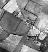
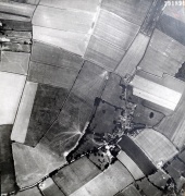
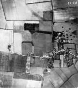
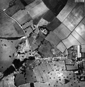
I have a selection of original photographic prints of aerial pictures of Carlton and some of the surrounding villages.
These were too big (53cm x 48cm) to scan with an A4 or A3 scanner, so they had to be professionally scanned by a company who has a bigger scanner than I do!
Villages
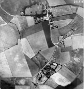
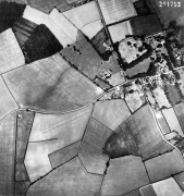
Carlton & Carlton Hill
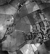
Carlton Green
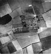
Burrough Green
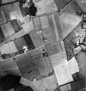
Six Mile Bottom (i)
Six Mile Bottom (ii)
Streetly End

Weston Green (Weston Colville central)

Weston Green (Weston Colville east)

Weston Green and West Wratting Common Road
West Watting (West)
West Wratting (East)
Brinkley (West)
Brinkley (East)
Westley Waterless (West)
Westley Waterless (East) and Burrough End


Carlton Details

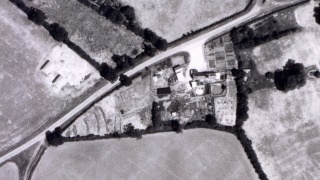
Finchley Gate Farm

Hillview

Hillcroft


Brinkley Details
Red Lion public house

Brinkley Hall & Saint Mary's Church

