
File:Map CarltonGrange 1903 3072.JPG
Revision as of 18:24, 22 May 2015 by Hfrancis (talk | contribs) (Ordnance survey map of the western part of the parish of Carlton-cum-Willingham Green in Cambridgeshire, from 1903. This extends from Brinkley towards Six Mile Bottom, and shows the now demolised estate farm of Carlton Grange. It shows th areas which n...)
Size of this preview: 800 × 595 pixels. Other resolutions: 320 × 238 pixels | 3,072 × 2,285 pixels.
Original file (3,072 × 2,285 pixels, file size: 762 KB, MIME type: image/jpeg)
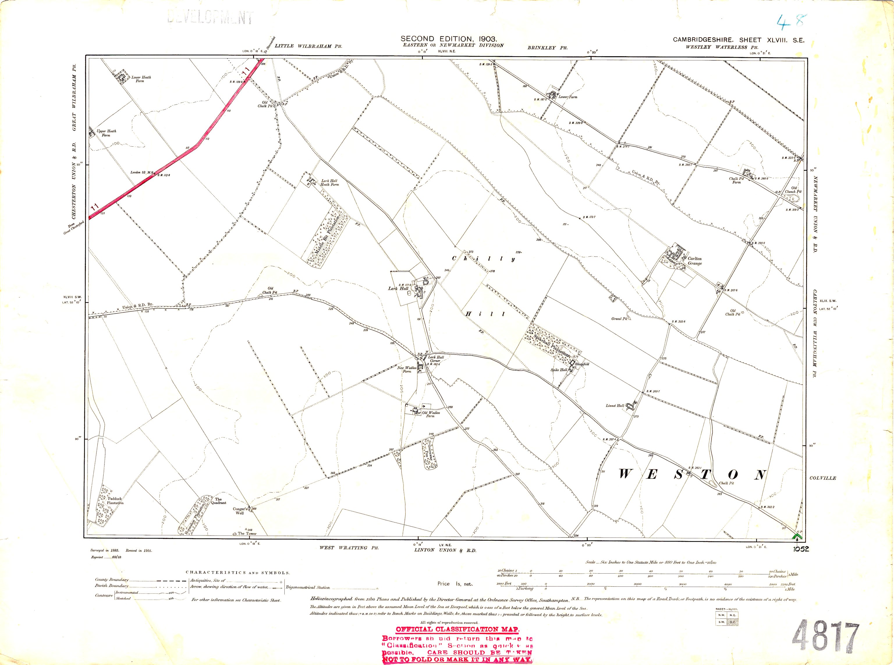
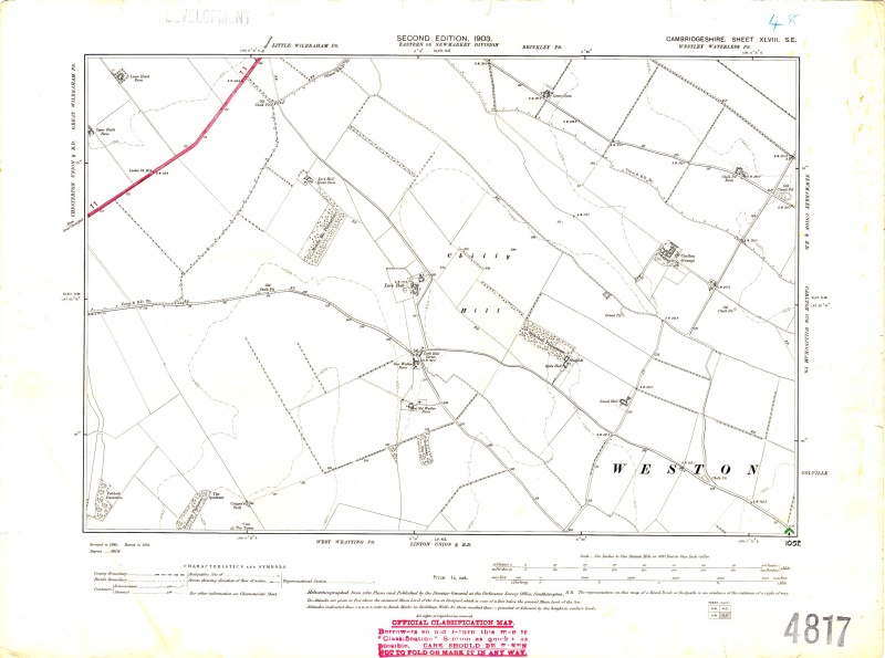
Ordnance survey map of the western part of the parish of Carlton-cum-Willingham Green in Cambridgeshire, from 1903. This extends from Brinkley towards Six Mile Bottom, and shows the now demolised estate farm of Carlton Grange. It shows th areas which now contain the Wadlow Wind Farm (the area shown on the map as Chilly Hill) and also the location of the Woodland Cemetary (far right).
Cambridgeshire Sheet XLVIII S.E.
The original map is Crown Copyright and over 50 years old. This scan is copyright the Carlton Village Website.
File history
Click on a date/time to view the file as it appeared at that time.
| Date/Time | Thumbnail | Dimensions | User | Comment | |
|---|---|---|---|---|---|
| current | 18:24, 22 May 2015 | | 3,072 × 2,285 (762 KB) | Hfrancis (talk | contribs) | Ordnance survey map of the western part of the parish of Carlton-cum-Willingham Green in Cambridgeshire, from 1903. This extends from Brinkley towards Six Mile Bottom, and shows the now demolised estate farm of Carlton Grange. It shows th areas which n... |
You cannot overwrite this file.
File usage
The following page uses this file: